Showing all 7 results
Royal Mail’s Part Postcode Address File (Part PAF)
This instant download contains all every UK Postcode (circa. 1,791,296) and associated street/road name, locality, town name, and grid references. 'Part PAF' covers every postcode in the UK and consists of the very same fields you find in Full PAF...
Download Now
Royal Mail’s UK Postcode Address File (PAF)
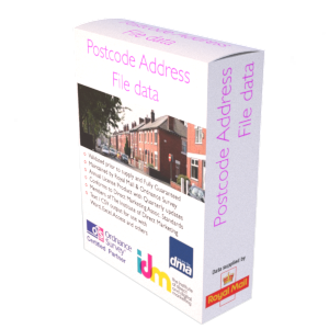
This instant download contains all circa. 32,429,796 million Postcode Address File (PAF) addresses / delivery points. That’s every known address and postcode in the UK. Addresses within the file are updated quarterly to ensure they remain current, and our clients...
Download Now
Royal Mail’s UK Postcode Address File (PAF) plus Property Level Grid References (CSV)
This instant download contains all circa. 32,429,796 million Postcode Address File (PAF) addresses / delivery points along with a grid reference for each property. That’s every address, postcode & address level grid reference in the UK. Addresses within the file are...
Download Now
UK Postcode Sector Boundaries
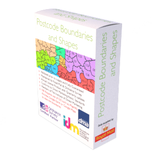
This instant download shows geographic polygons by Postcode Sectors, Districts and Areas in the UK. The product requires the use of a Geographic Information System (GIS) such as MapInfo, Arc Info, or Google Maps to view the boundaries. File formats...
Download Now
UK Postcode to County Names (Traditional, Administrative & Ceremonial)
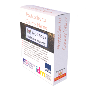
This instant download contains all UK (circa. 1,791,295) Postcodes associated to a Traditional County name, Administrative County name, and Ceremonial County name. The product has been built using government body data including the Office for National Statistics (ONS), Royal Mail...
Download Now
UK Postcode to Parliament Constituencies
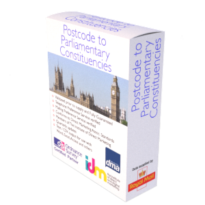
This instant download contains all UK Postcodes (circa. 1.9 million) and the Postcode's associated Parliamentary Constituencies, showing the Westminster, Scottish Parliamentary, Northern Ireland, Stormont (NI) Constituencies and Welsh Assembly Regions. In addition, we include a list of circa. 892,441 'Retired'...
Download Now
UK Royal Mail’s Multiple Residence (MRES)
This instant download contains circa. 727,000 UK business and residential addresses located beyond / behind one of the 32,429,796 million delivery points found on the Royal Mail's Postcode Address File (PAF). The Multi Residency content is updated quarterly to ensure...
Download Now
