Showing all 7 results
Free UK Postcodes Formatter
This instant download provides you with a free postcode formatter application (Microsoft Excel Macro). This application formats a Postcode list into a variable length e-GIF (e-Government Interoperability Framework) otherwise known as 'Print format' Postcodes, i.e. the postcode you typically see...
Download Now
Postcodes List – England
This instant download covers every known Postcode (circa. 1,489,494 ) within England. The file shows full Postcodes (e.g. YO90 1YD), Postcode Sectors (e.g. YO90 1), Postcode Districts (e.g. YO90) and Postcode Areas (e.g. YO). We have also included a 2nd...
Download Now
Postcodes List – Greater London
This instant download covers every known Postcode (circa. 180,488 ) within Greater London. The file shows full Postcodes (e.g. WD3 8UF), Postcode Sectors (e.g. WD3 8), Postcode Districts (e.g. WD3) and Postcode Areas (e.g. WD). We have also included a...
Download Now
Postcodes List – Nothern Ireland
This instant download covers every known Postcode (circa. 49,717) for Northern Ireland (NI) / BT. The file shows full Postcodes, Postcode Sectors and Postcode Districts. Included are a list of circa. 12,769 'retired' postcodes that are no longer in circulation....
Download Now
Postcodes List – Scotland
This instant download covers every known Postcode (circa. 160,133) within Scotland. The file shows full Postcodes (e.g. AB10 1AQ), Postcode Sectors (e.g. AB10 1), Postcode Districts (e.g. AB10) and Postcode Areas (e.g. AB). We have also included a 2nd list...
Download Now
Postcodes List – United Kingdom (UK)
This instant download covers every known Postcode (circa. 1.79 million) within the UK. The file shows full Postcodes (e.g. LN9 6QZ), Postcode Sectors (e.g. LN9 6), Postcode Districts (e.g. LN9) and Postcode Areas (e.g. LN). We have also included a...
Download Now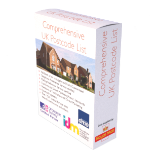
Postcodes List – Wales
This instant download covers every known Postcode (circa. 91,952 ) within Wales. The file shows full Postcodes (e.g. CF10 1AA), Postcode Sectors (e.g. CF10 1), Postcode Districts (e.g. CF10) and Postcode Areas (e.g. CF). We have also included a 2nd...
Download Now