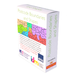
Vector UK Regions Boundary file (SHA / KML)
Instant Download: A link to the data, is emailed upon payment. We will also email a link to the updated version of this file every three months (included in the fee you pay). The download opens into the Vector Regional Boundary file. This quarterly updated Vector Boundary File gives a representation of all UK Regions (England, Scotland, Wales and Northern Ireland). Representation is to 20 meters (clipped to the coastlines mean high water mark). Quarterly updates & refreshers throughout the year are included in the fee. File formats available are KML and SHApe.
Output
The Regional Vector Boundary file contains the latest digital vector boundary for England, Scotland, Wales and Northern Ireland. Data contains both Ordnance Survey and ONS Intellectual Property Rights. You’ll initially receive one compressed file (ZIP), which opens into the one boundary file. If you require the data supplied in another format then we will be more than happy to try and accommodate you at no extra cost.Included are the region code and region name as follows:
Coverage
This quarterly updated Vector Boundary File gives a representation of all UK Regions (England, Scotland, Wales and Northern Ireland). Representation is to 20 meters (clipped to the coastlines mean high water mark).
Licencing
Downloads are supplied as licensed products, allowing unlimited reuse of the file content for 12 months. You may cancel the licence at any time without penalty. The licence fee you pay covers the considerable effort taken to compile and update the product, including our manual correction and verification, and finally verification against the latest Royal Mail and Ordnance Survey databases. On or before the 11th month, we will write to you, offering to extend the licence for a further 12 months or to let it expire.
Updates
As part of the fee paid, we will automatically send you a full product file refresher every 3 months for no additional fee. This will ensure the postcodes and associated content remains current.
Guarantees
We have developed internal quality processes to help ensure the data you purchase is fit for purpose. If you are for some reason not satisfied with the data or our work, we offer a no quibble refund in exchange for your feedback.
Buy now…
£179.00 – £981.00 / year
Instant Download: A link to the data, is emailed upon payment. We will also email a link to the updated version of this file every three months (included in the fee you pay).
Useful Information
Reviews
0 reviews for Vector UK Regions Boundary file (SHA / KML)
Only logged in customers who have purchased this product may leave a review.


There are no reviews yet.